What are Artificial Intelligence (AI) and Machine Learning (ML)?
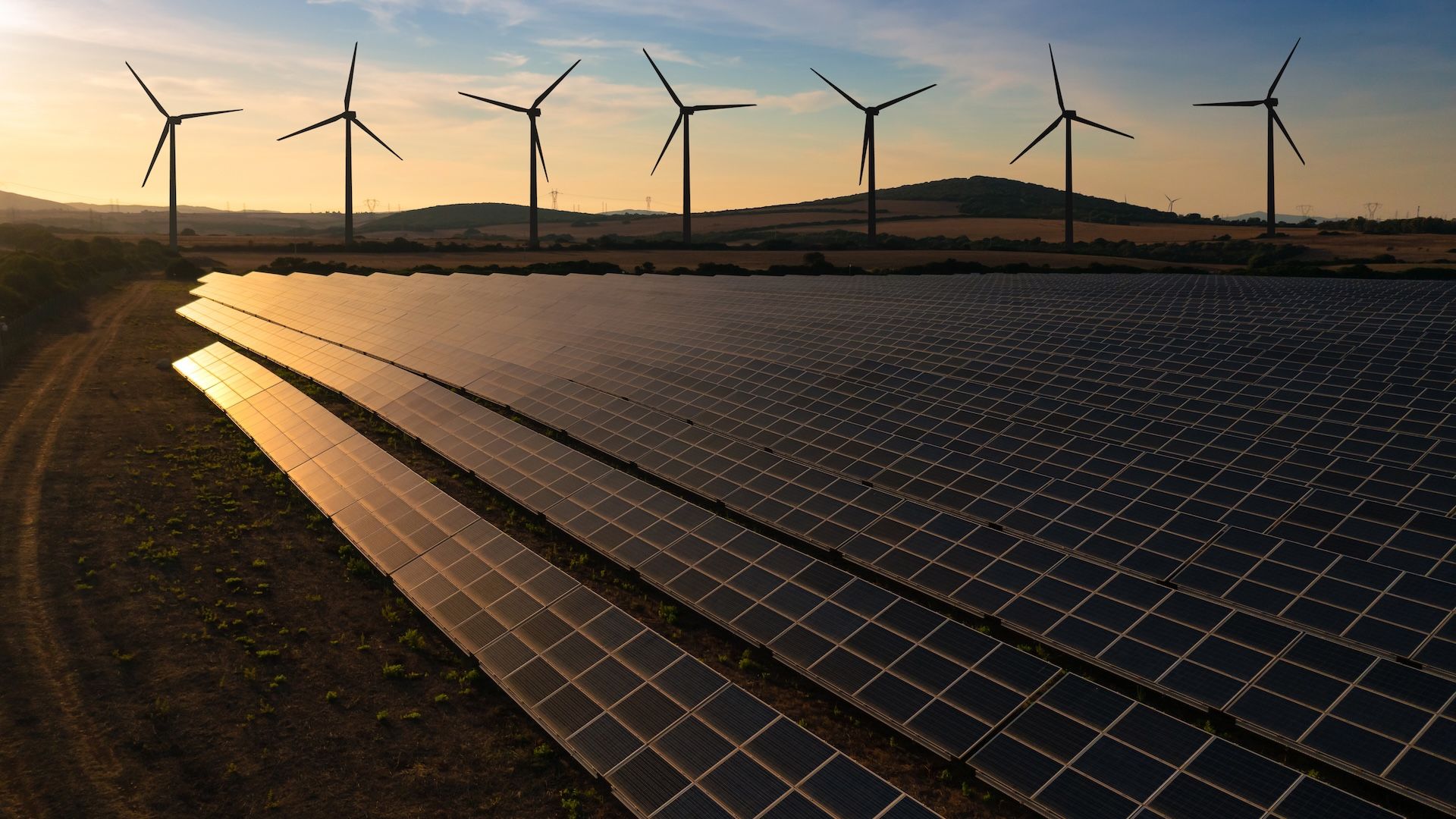
Processing and drawing insights from earth observation data using artificial intelligence (AI) and machine learning (ML) is the backbone of Climate TRACE. We use these technologies to help understand where emitting assets and sources are located, when they are emitting, and how much they are emitting.
AI and ML are closely interrelated, but they aren’t the same — ML is a subset of the broader field of AI. So what are they, how do they differ, and how does Climate TRACE leverage their strengths to bring radical transparency to global greenhouse gas (GHG) emissions?
Artificial intelligence (AI) defined
AI is a frequently overused and misunderstood term. Artificially intelligent ‘beings’ first appeared as futuristic characters like Hal 9000 in Stanley Kubrick’s late 1960s sci-fi classic 2001: A Space Odyssey. In the modern 21st century, AI-powered features are omnipresent in everyday life, such as speech recognition processing for Apple’s Siri and Amazon’s Alexa, or facial recognition on your smartphone.
At its most fundamental, AI involves enabling machines — especially computers and computer programs — to perform human-like ‘thinking’ tasks and decision-making normally associated with human intelligence. Perhaps the most famous such example was when IBM supercomputer Deep Blue beat chess grandmaster Gary Kasparov in 1997.
Machine learning (ML) contrasted
In contrast to AI, ML takes things an important step further: it allows computer systems to learn without being explicitly programmed, by using algorithms and statistical models to analyze and draw inferences from patterns it finds in data.
As Jeremy Freeman, a software engineer in machine learning and modeling at coalition member WattTime, explains: “If you wanted to train a computer to tell the difference between a cat and dog, instead of me writing a set of rules to describe the cat and dog and why it’s a cat vs. a dog — which is hard to do — now we show this machine lots of pictures of cats and lots of pictures of dogs. We let ML find what things to look at in the images that exude the essential ‘catness’ or ‘dogness’ of each image.”
The input: satellite imagery
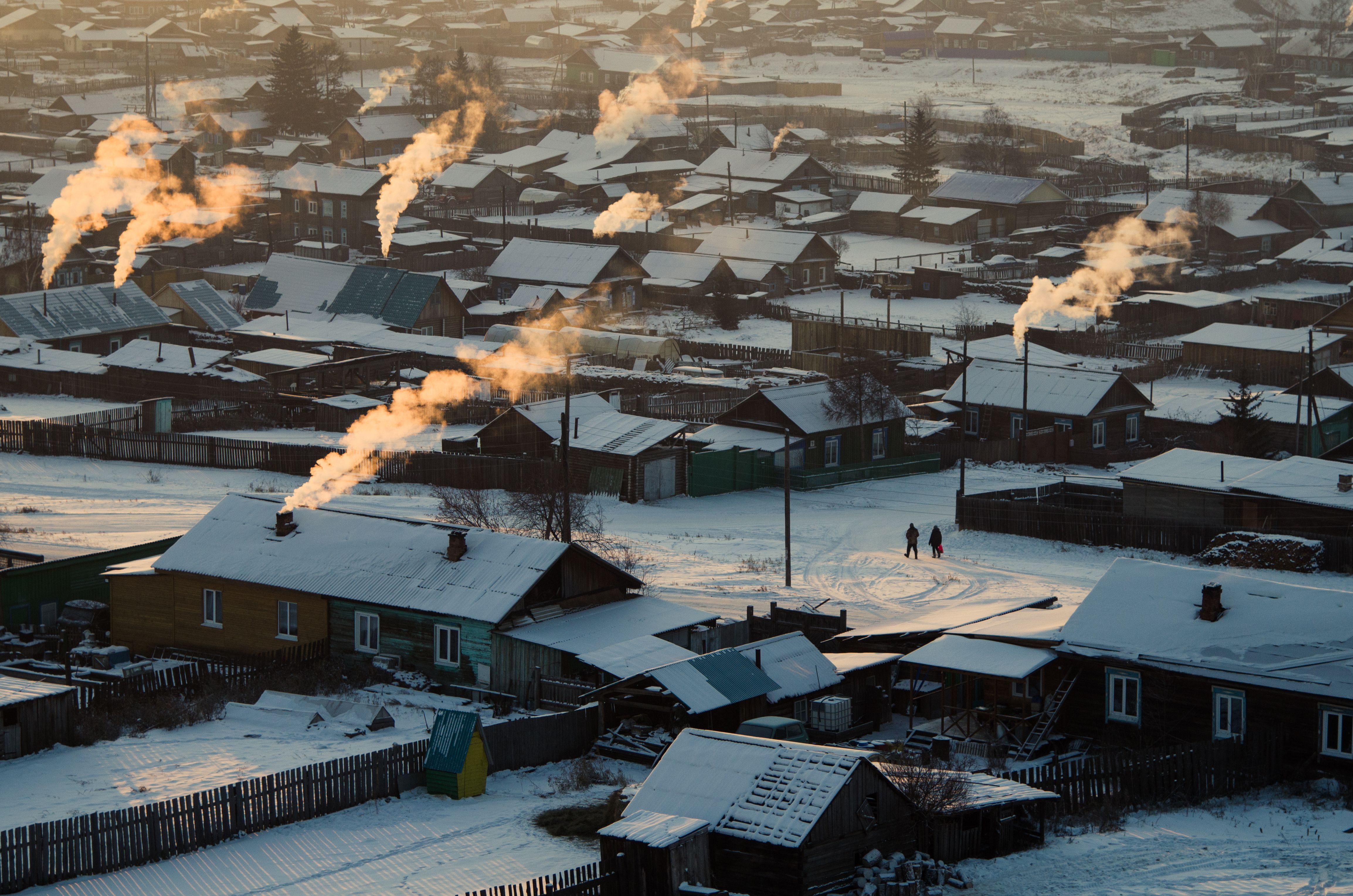
In the case of tracking GHG emissions, we’re of course not looking for cats and dogs. We’re analyzing Earth observation imagery and data from satellites. Climate TRACE’s AI/ML algorithms analyze those images to identify activitiesthat cause emissions, and then associate those activities with increasingly confident estimates of their corresponding emissions.
ML uses layers of neural networks or layers of templates that detect simple objects like lines, dots, and curves in an image. Then it weighs all the aspects of the image to see what the combination forms. For Climate TRACE, we utilize the neural network to find patterns in satellite images to determine things like, what is a power plant and what is not a power plant?
Applying AI/ML to specific emissions-causing sectors and industries
Once our computer models have the ability to reliably identify an emitting asset such as a power plant, we then apply an ML model and train it to further detect plumes of smoke, for example, to tell us things like whether a power plant is on or off and whether it is working at half capacity or full capacity. Once we understand the activity, we can further train our algorithms to associate that activity with its corresponding associated emissions. We apply a similar approach across other sectors, such as agriculture, oil and gas, mining, and manufacturing.
Helping the AI/ML get continually better
AI and ML together make a powerful duo, and we’re constantly working to make them do their jobs even better. Here are two examples:
-
No matter how good our algorithms are, they’re partly dependent on the satellite imagery and other data that we ‘feed’ them. Yet at times there can be limitations with those inputs. These might include clouds or storms temporarily obscuring a particular flyover of an emitting asset; the frequency of how often satellites fly over specific areas that we want to observe; limitations created by the spatial resolution of the satellite; or even something specific like more-efficient power plants that don’t have the same ‘signature’ of visible cooling plumes as less-efficient polluting plants.
-
We also have to consider the sheer diversity of assets found around the globe. For example, power plants and factory farms look different in the U.S. versus China, Australia, or South America. In those cases, it takes time to train the models to use inference and generalize what it has seen before and apply that training set to things it hasn’t seen before.
For now, Climate TRACE continues to expand at the speed that technology allows and climate action demands. As AI, ML, and satellites continue to improve, so will our ability to measure even more detailed information about emissions sources.
Ann Marie Gardner is a writer and editor and Climate TRACE coalition member.