Intel from Above: a Q&A on Satellite Completeness with RMI’s Fran Reuland
Fran Reuland is a manager with the Climate Intelligence team at RMI, a member of the Climate TRACE coalition working on data in the oil and gas sector. We sat down with her for a brief interview on satellite completeness, the subject of RMI’s latest report, and Satellite Point source Emissions Completeness Tool (SPECT).
What is satellite completeness and why should we care about it?
Satellite completeness is the concept of evaluating the capability of an instrument (or ensemble of instruments) to capture a certain type of emissions within a given area and time window. It was first introduced in academic literature and RMI saw the opportunity to build upon it during this critical moment in time for the climate. In particular, this allows us to think about how different remote sensing observation systems like satellites can successfully detect point sources of methane around the world.
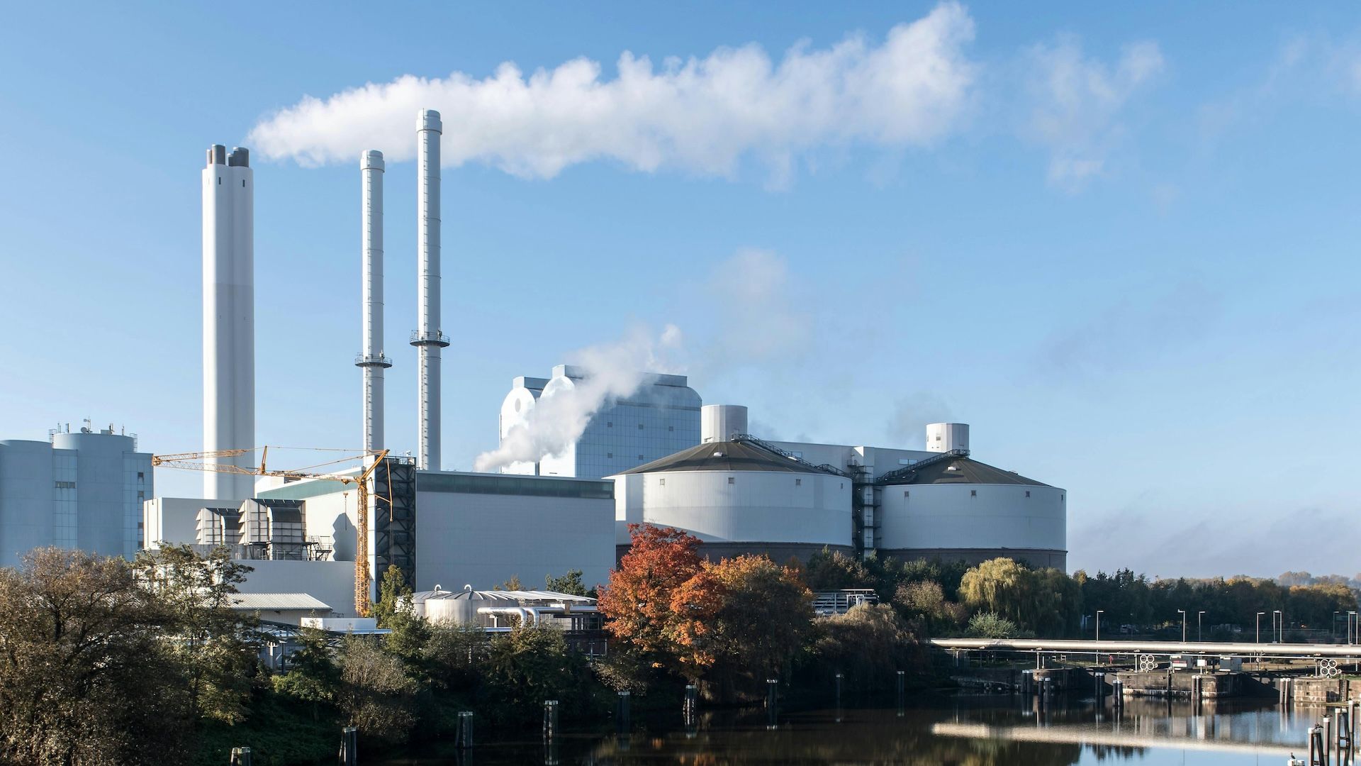
This metric — which combines three key parameters of detection sensitivity, spatial coverage, and sampling frequency — is important because it can help us better understand and manage methane emissions. Methane is the second leading contributor to climate change and, even more importantly, presents a big near-term opportunity to slow or even reverse global temperature rise given its potency and short lifespan. Recent studies have revealed large identifiable sources emitting methane at disproportionately high rates. But emissions from these sources (like oil and gas facilities or landfills) have been hard to identify and remediate because they are scattered all over the globe and can be very intermittent.
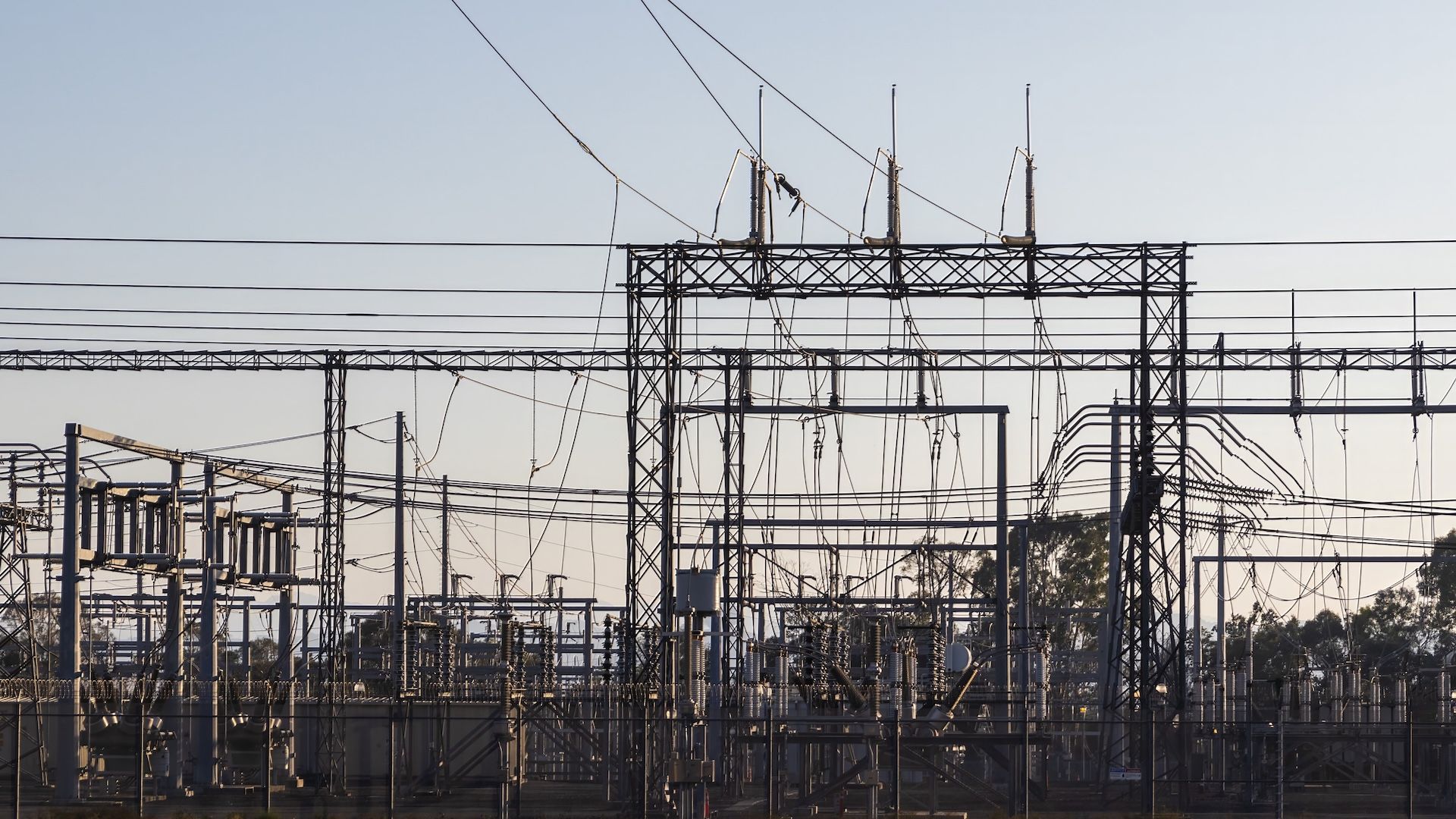
About ten years ago scientists began using methane-sensing satellites to spot anomalously large emitters. This became a fast-growing space, and we’ve seen a rise in news stories about satellites detecting leaks. The Nord Stream gas pipeline leak spotted in the Baltic Sea last September is a prime example. But there remains a big knowledge gap in what specific satellite technologies are available — and how to leverage the unique capabilities of different systems — to detect methane from infrastructure across the globe.
Climate TRACE uses satellite data among other sources to build its greenhouse gas inventories. How does the metric of satellite completeness influence Climate TRACE?
Climate TRACE is marching toward a goal of global coverage, presenting data on all emitting sources and sectors. The latest data launch in November 2022 included a breakdown of carbon dioxide and methane, which shows that it’s also striving to cover different gasses.
Because the concept of completeness, as it’s currently being applied, considers how well a certain observing system can pinpoint high emitting methane point sources all over the world, it aligns quite well with Climate TRACE and can help underpin its ability to fill in data gaps and generate independent emissions estimates that don’t rely on self-reported data.
RMI has focused on evaluating completeness to understand emissions in the oil and gas sector and methane from other large point sources like landfills. But, in the future, the concept of completeness can be expanded to allow us to consider fundamental questions about observing systems designed for other purposes. Aspects of monitoring such as the granularity of emissions detection (country, regional, or asset level), where emissions are tracked (which sectors and which geographies), and the time scales for observing and revisiting an area (annually, monthly, or daily)are useful in other greenhouse gasses and sectors.
Who is satellite completeness most useful for, and how would these people use this metric?
Satellite completeness is broadly useful to anyone looking to demystify satellites, better understand how they work, and evaluate the technologies at their disposal to meet their methane-related goals. RMI developed SPECT as an interactive web tool to help people take this concept and put it into practice. SPECT calculates a completeness ‘score’ for different satellites in orbit today and allows users to compare different systems based on key world assumptions and the satellite’s parameters. With SPECT you can see how different satellite systems work independently or together to spot the greatest percentage of strong methane emission point sources.
A few specific use cases of completeness and SPECT come to mind.
First, they can be applied by anyone who produces or uses a methane inventory right now. This could include people responsible for conducting more traditional country emissions reporting, or those pioneering more sophisticated methods (like what Climate TRACE is doing). That’s because point sources of methane are so important for these inventories yet represent one of the biggest and most common gaps. Satellite completeness tells us what we need to know to close these gaps, and SPECT can even help people learn about which satellite technology can be leveraged to do so most effectively.
It can also be useful for companies looking to leverage satellite data to improve their operations, policymakers designing mitigation policies, or regulators evaluating the array of technologies that can be used to find and fix leaks.
For example, if I own or operate oil and gas assets across multiple basins, SPECT could help me understand what satellite technology(ies) would most effectively monitor for intermittent leaks of various magnitudes — where detection sensitivity and sampling frequency are both very important.
Additionally, RMI will soon be releasing a series of briefs on how completeness and SPECT can be used most effectively by policymakers.
How might a better understanding of satellite completeness help Climate TRACE in its quest for continuous improvement and greater emissions transparency?
Emissions transparency and accountable emissions tracking are critical to underpin effective climate action, and satellites are playing a big role in making the invisible visible. Looking at these systems through the lens of completeness can help Climate TRACE and our many collaborators identify ways in which we leverage different satellites to gain a more comprehensive picture of emissions around the globe to prioritize action. It also helps us understand how these satellite constellations are changing over time to improve emissions intelligence as this is a rapidly growing space.
Emergent satellite constellations will provide even more robust and accessible data than what we have at our disposal today. One example is Carbon Mapper, which will launch its first satellite in 2023 with Planet Labs and NASA JPL. As new data sources come online, Climate TRACE can look to incorporate this intelligence and transparently update its methods. Similarly, SPECT was built according to what we know today but will continue to evolve with the space so it can best evaluate technologies based on latest knowledge.