Hypervine’s Paul Duddy on mining and mineral extraction emissions

As part of an ongoing Climate TRACE series, we are interviewing individual coalition members about their work. We recently talked with Paul Duddy, founder and CEO of Hypervine, which leads the Climate TRACE work on modeling emissions from mining and mineral extraction activities.
Can you tell me a little about the emissions sector you focus on and why it's important to get visibility within it?
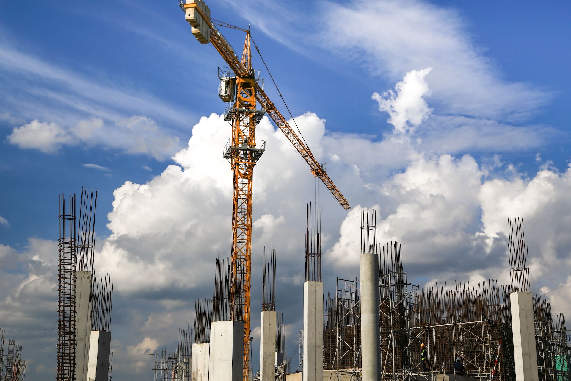
We’re covering emissions from the mining industry, specifically focusing now on iron, copper, and bauxite. [Editor’s note: iron and bauxite are key inputs to steel and aluminium, respectively.] Understanding the impact of these key minerals is important because they’re used in basically everything people use in daily life, from cell phones and computers to houses and hospital equipment.
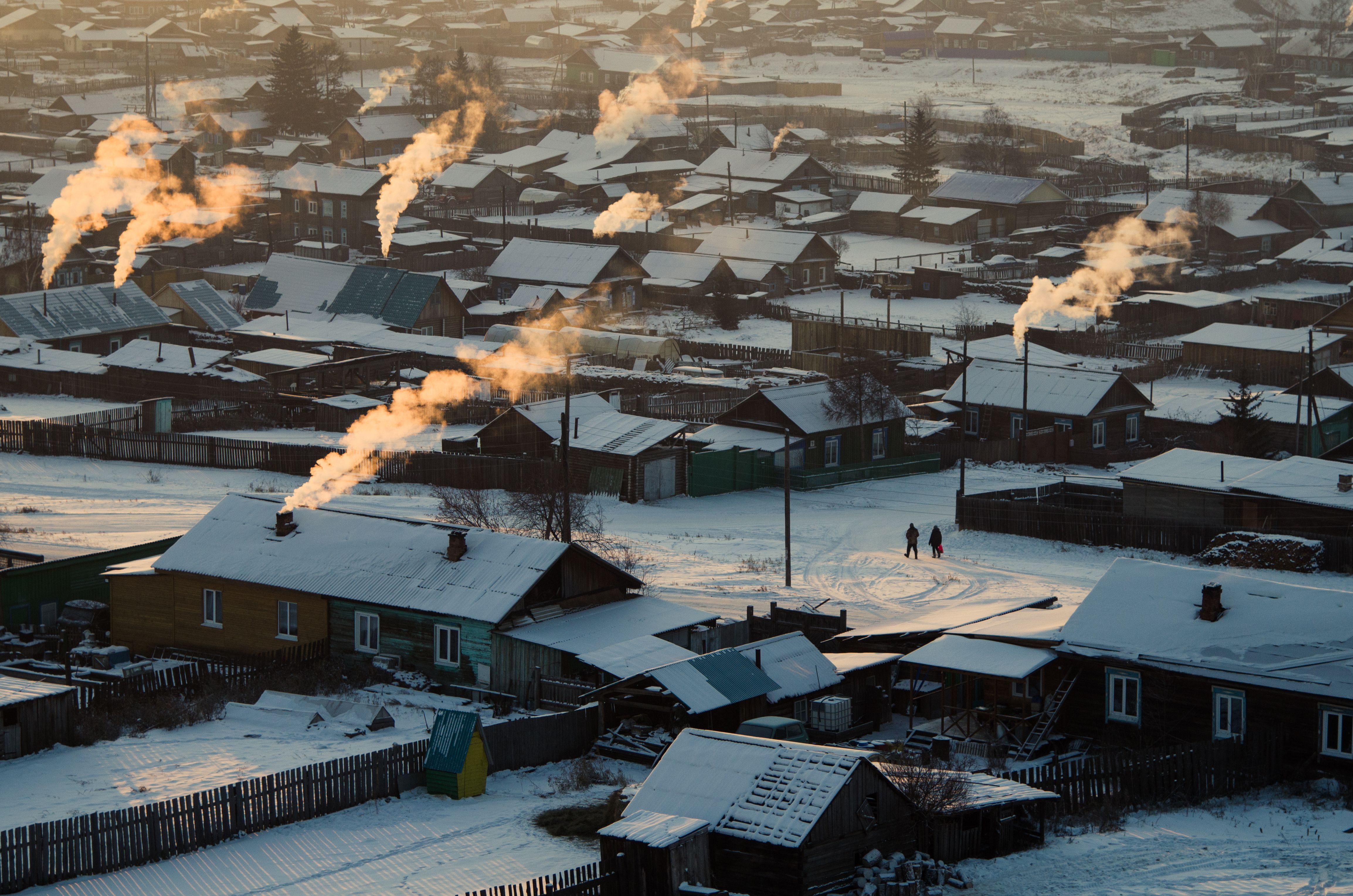
Mines are a double-edged sword. The minerals they produce are an absolute necessity in today's world, but mining has massive environmental impacts, from poisoning local drinking water and producing forever chemicals to generating carbon and methane emissions. So it is really important to see what mines are doing.
It’s also incredibly difficult to get that visibility, because mines are located all over the world, they come in all different sizes, and they’re owned by many different types of companies. Some mines may span a few acres, while others have a bigger footprint than some cities. Even mines of the same size can be hard to assess. For example, if you were to look at the environmental data of an iron mine in central Africa and then a similarly sized iron mine in South America, you couldn’t make an apples-to-apples comparison because every region has its own reporting standards. Frequency of reporting is also particularly irregular in the mining industry, with most reporting only happening annually.
The industry isn’t deliberately being opaque. It’s more an issue that most mining companies haven’t needed to publish these data very often in the past, and detailed reporting just isn’t part of how they work. Strictly speaking, mining companies are in the business of using big machines to dig rocks out of the ground, crush those rocks to get the minerals out, and then send them somewhere else.
What is your approach to modeling mining emissions? Where do you get the data?
We model emissions using a combination of annual reports and satellite data, mostly from the European Space Agency’s Sentinel 1A and 1B satellites. Each month, a satellite flies over a mine, capturing one or two images. We then use the ESA’s Synthetic Aperture Radar (SAR) to measure changes in the ground environment. In a mine, the ground moves up and down all the time depending on what’s going on at the site, so those ground changes tell us a lot about the intensity of an operation.
Then we process the SAR data using a pixel analysis methodology, turning it into a visual history of what’s happened at the mine each year. This means taking black-and-white images of the mines, which look pretty cool, and then layering them on top of each other. We color-code the images to represent different years of activity at the mine. You can actually see the roads and paths within these mines. With high-resolution imagery, you can even see specific equipment like trucks or diggers.
All this lets us see how active a particular mine has been over the last few years. Some mines might show little change, while others show a lot. More movement typically means more emissions activity.
How do you determine emissions factors?
We've produced our own emissions factors for copper, bauxite, and iron, and the processes are different for each one. They're all essentially digging rocks, but how they go about it differs.
Take bauxite versus copper: copper is mined from deep underground, requiring operations that dig vertically down into the Earth. Bauxite, on the other hand, is found nearer the surface, so mining involves larger, shallower pits. These differences mean machinery is used in different ways — like diggers, haul trucks, and graders — and each has unique fuel requirements, which we factor into emissions calculations.
The main metric we focus on currently is the fuel usage of trucks, since carbon emissions primarily result from burned fuel. For example, haul trucks (which we call "Tonka Trucks") in mines may be operating 24 hours a day, burning 3,000–4,000 liters of diesel daily. By combining this data with the number of trucks on-site, we estimate emissions for each operation.
We also use satellite-based pixel analysis to track ground movement, which helps us assess the intensity of mining activities. A higher level of activity in the satellite data indicates more extensive equipment usage, which we incorporate into our calculations.
[Editor’s note: As Hypervine and Climate TRACE methodologies evolve, the coalition is also exploring expanding its view of mining emissions to potentially include mines’ direct release of gases such as methane, as well as electricity generation and consumption for on-grid and off-grid mining operations.]
Where are you in the process and what’s next on the horizon?
We are currently focusing on modeling mining and mineral extraction activity and emissions for larger operations with the highest impact. Of these, around 800 are analyzed using satellite imagery, while the rest rely on data from annual reports and other sources. Right now we're rapidly scaling use of satellite technology, and aim to cover over 1,000 of the world’s biggest mines later this year, potentially extending truck counting to all monitored sites.
So this year our emissions calculations will be more accurate than estimates we’ve previously been able to create. For every mine we cover we’ll know exactly what machines they've got on site, and how many are in use.
We're also planning to start covering lithium mines in the near future.
What specific challenges has your team faced, and how has your approach evolved as a result over time?
We [Hypervine] actually started out trying to sell apps to the mining industry, thinking they’d use them to track carbon emissions and share data back with us. But we realized pretty quickly that there’s no real pressure for them to change. Mining companies are focused on digging rocks as fast as they can, and if an app doesn’t help them do that or make more money, they don’t see the point.
A lot of this comes down to attitude. Mining companies know people need their materials — whether for phones, laptops, or cars and trucks — so they don’t feel much urgency to address emissions. It’s not that they don’t care about the environment. Many of them do; they just don’t know how to make improvements without hurting their bottom line.
That’s when we decided to shift gears and operate independently. Instead of relying on them for data, we use satellite imagery and public information to do the work ourselves.
How do you envision these data supporting emissions reductions in the mining industry?
The mining industry has been slow to act because there’s little pressure to change. Many companies own multiple mines, but they don’t always operate them directly. Each mine runs more or less as its own business. This means one mine could be performing better than another in terms of environmental impact, but the parent company may not care as much because it’s focused on profits, not on how each individual mine is performing.
This is where our data come in. By providing independent, reliable information, we can help both individual mines and policymakers understand where improvements can be made. The data is separate from the industry, so both sides can trust it. As more banks and investors consider environmental sustainability when making decisions, we hope mining companies will start taking their environmental performance more seriously.
Governments also need the right tools to work with the mining industry. A centralized, standardized dataset like the one we’re building at Climate TRACE can help make that happen. When all the data is in one place, it’s easier for both the industry and policymakers to see what's really going on, make better decisions, and align efforts toward clear environmental goals.
Interviewed by Daisy Simmons.