Climate TRACE
Comprehensive Emissions Insight
Open Data
Built by a global not-for-profit coalition of over 100 universities, scientists, and AI experts.
Examine 744,678,997 emitting assets individually or aggregated by city, state, country, etc.
Group emissions by 10 industrial sectors broken into 67 sub-sectors
Follow 10+ years of data (2015-2025) with monthly data available from 2021
See the impacts of 3 GHGs and 8 non-GHG air pollutants

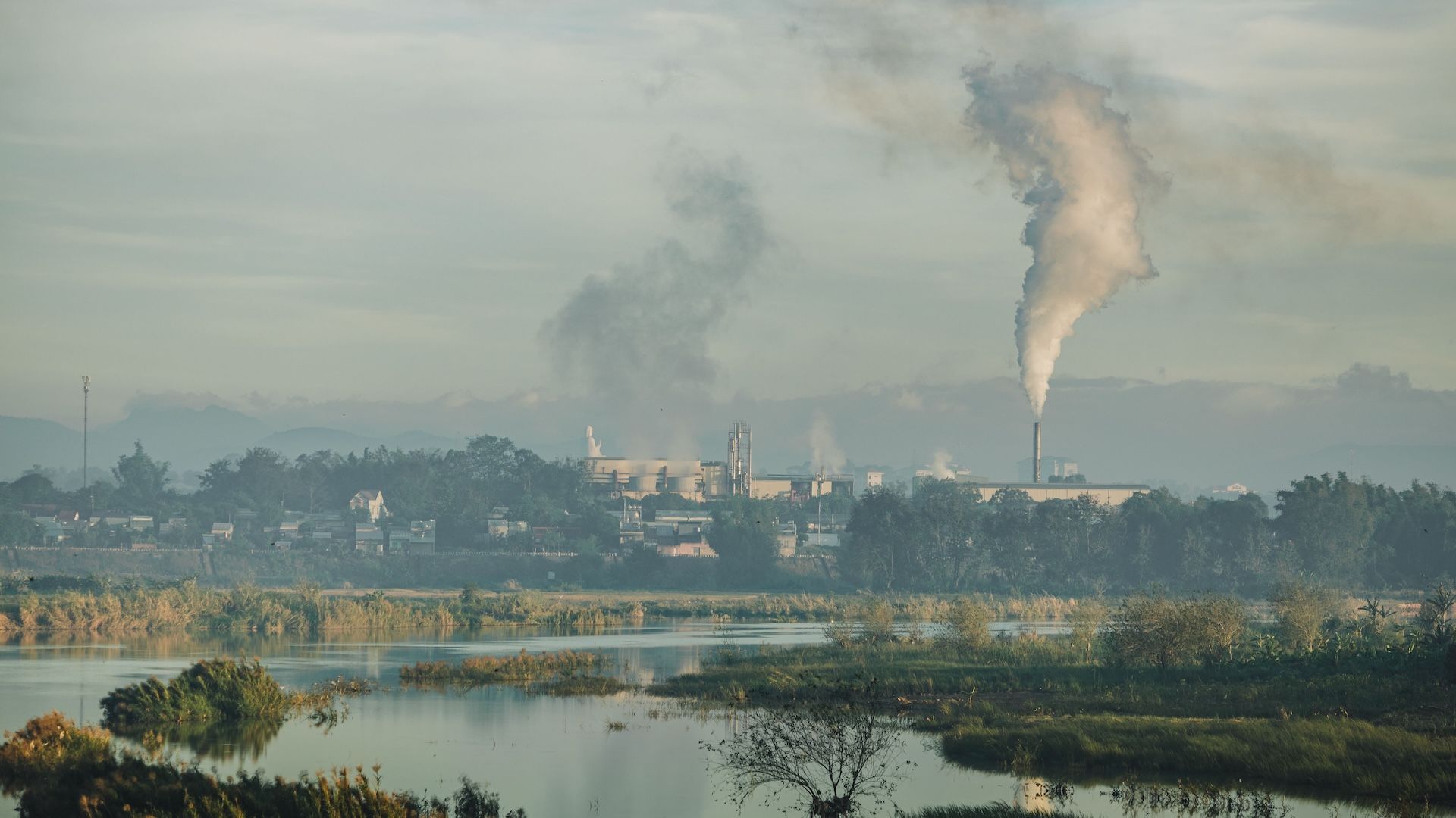
Measure Global Emissions
Climate TRACE makes meaningful climate action faster and easier by harnessing technology to track greenhouse gas emissions with unprecedented detail and speed, delivering information that is relevant to all parties working to achieve net-zero global emissions.

Reduce Your Footprint
Climate TRACE goes beyond tracking emissions and shows you how to hit specific emission reduction targets by enacting possible climate actions for every source under your control.


About the Coalition
We make meaningful climate action faster and easier by mobilizing the global tech community to track greenhouse gas (GHG) emissions with unprecedented detail and speed and provide this data freely to the public.
How it Works
Most human economic activities release greenhouse gases into the Earth's atmosphere. We use satellites, other remote sensing techniques, and artificial intelligence to deliver a detailed look at global emissions that gets even better over time.

Support Us
You can get involved with Climate TRACE by contributing data, helping to fund our mission, or joining one of our teams. Contact us to explore the possibilities.